After a memorable car-camping weekend with our daughter Emily and son-in-law Mitchell at Turquoise Lake near Leadville, we took the opportunity to have them shuttle our car and then drop us off to hike Segments 9–11. As a result, we’ve skipped Segments 7–8 and will have to go back and complete those later this summer.
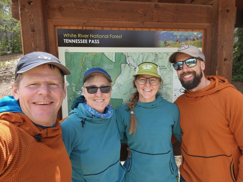
Before leaving Leadville, our daughter and son-in-law surprised us with an appointment at the famous Melanzana factory, where they bought us both new Mellys for our hike. For those unfamiliar, a “Melly” is the iconic grid-fleece pullover hoodie so popular with the outdoor crowd that you must make an appointment months in advance just to shop for one. Ironically, we ended up choosing the same colors as our daughter and son-in-law’s. Too funny. After picking up our new Mellys, we all drove to Tennessee Pass, north of Leadville, where we’d start the next leg of Project 491, then Emily and Mitchell shuttled our car to our ending point at Twin Lakes.
Day 1 – (Begin Segment 9)
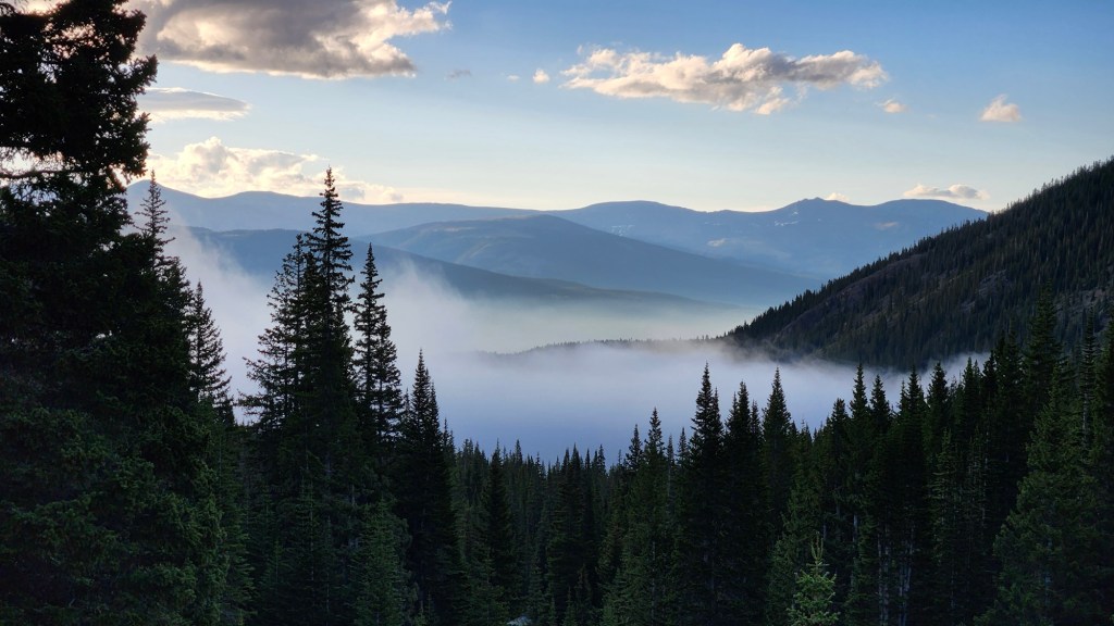
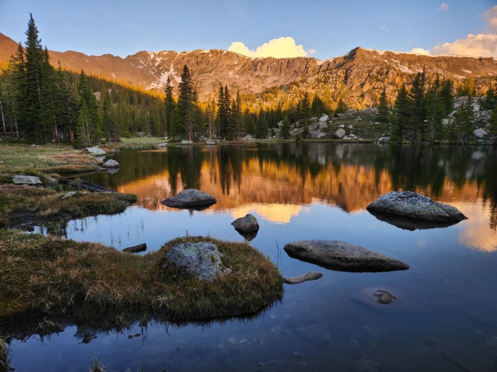
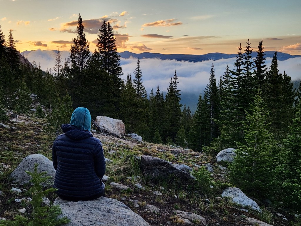
Starting at 2 p.m. Sunday afternoon, Karen and I hiked the first ~8 miles of Segment 9 to Porcupine Lake in the Holy Cross Wilderness, named for the famous 14er, Mount of the Holy Cross. Porcupine Lake was the most scenic campsite we’ve had since starting Project 491. Perched on the east side of the Continental Divide at 11,600 feet, it was the perfect spot for a spectacular sunrise.
Day 2 – (Remainder of segment 9 and into 10)
Early the next morning, we woke to the sound of white-tailed ptarmigans clucking and flying about on the nearby tundra. After our ritual morning coffee, we packed up camp and hiked out as the alpenglow lit up Galena Mountain to the west, just as I’d hoped.
The remaining miles of Segment 9 took us past several beautiful alpine lakes nestled among the trees before descending to the far west end of Turquoise Lake and the start of Segment 10. I was especially looking forward to this segment, which follows the eastern flank of Mount Massive, the second-highest peak in Colorado. To our disappointment, however, all 13 miles of segment 10 were in the trees, and we never got a view of Mount Massive. Had I been consulted when designing the Colorado Trail, I would have suggested routing the trail farther west at tree line, where hikers would likely enjoy spectacular views of the mountain.
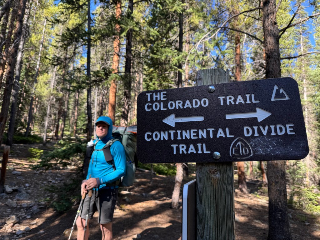
On Day 2, we covered an exhausting 16 miles and over 3,000 feet of elevation gain and loss with little visual reward for our efforts. Along the way, we encountered numerous Continental Divide Trail (CDT) hikers headed north. It was fun to hear their stories. CDT hikers start at the Mexico border in early spring and hope to reach the Canada border before winter. Nearly 3,000 miles in total! What an adventure they are on!
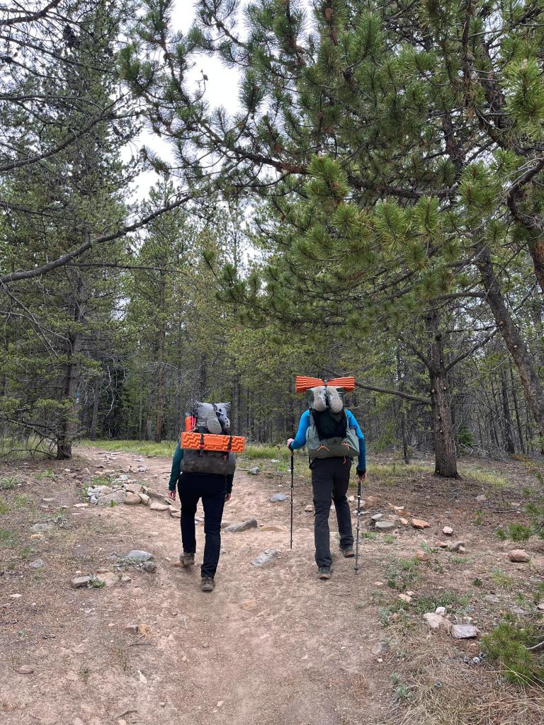
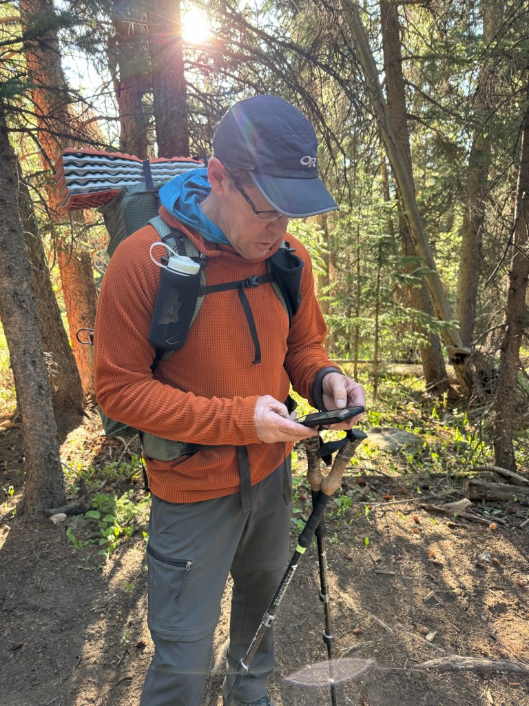
One noticeable difference in Segments 9–11, compared to earlier sections of the trail, was the abundance of water. Beautiful mountain streams—cold, clear, and rarely more than a few miles apart—made it easy to filter drinking water along the way. As a result, we could lighten our packs by carrying only the water needed to reach the next stream.
(Glen checking the location of our next watersource on the CT Farout App)
Day 3 – (Remainder of segment 10 and halfway into 11)
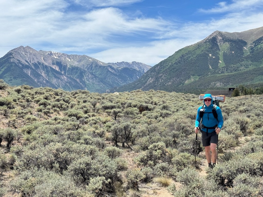
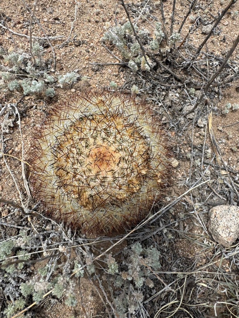
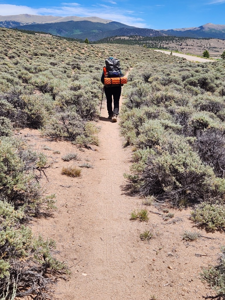
Segment 11 began much like Segment 10 ended: more miles through the trees with very few mountain views. After roughly 10 miles of hiking through the forest, we descended to Twin Lakes, where the trail levels out and follows the shoreline around the lakes’ eastern end. We hiked this stretch at midday in hot, exposed conditions, hiking through sagebrush and cactus, but the expansive views of the mountains to the west behind us made up for it.
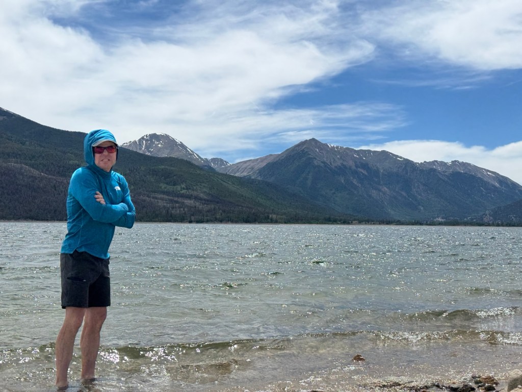
At one point, we stopped along the beach and soaked our tired feet in the cool water. By early afternoon, we arrived back at our car dusty and tired but satisfied after logging another 38 miles. That brings us to 141 miles completed on Project 491.
~Ptarmiglen
